Greetings and welcome!
It is a frosty morning coming off of an overnight low of -6 degrees. I was thinking yesterday that if it wasn’t for the late sunset and warm sun I wouldn’t know this weather from a typical January or February day. It was pretty brisk outside with a high of 12 and some wind.
Looking at the 16 day GFS forecast model this morning I am still seeing a storm for the weekend, but some details have changed and a lot of it is still very much in question. This morning’s version has a storm for Saturday night into Sunday. It would start as snow and then go to a mix or rain Sunday. The path of the storm is very close to ideal for heavy snow in our area, but the rain/snow line is still in question.
The other noteworthy thing is that my catastrophic warming on about the 15th is gone. There is another storm showing up for about then and it does not look like snow. The push of warm air that would reach hundreds of miles into Canada is gone though, and there is none showing up in the 16 day scope of the model. Maybe we will ride into April.
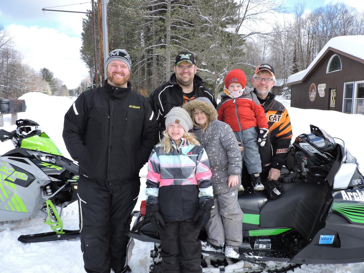
Let’s get to some pictures.. Thank you all again for visiting Rapids Resort, and thank you especially for your donations and support!
Have a good Tuesday and thank you for visiting!
RJB